
Drone mapping, LiDAR, and thermal inspection in Northern Virginia
Measurement, inspection, and documentation for sites across Virginia, delivered as data you can act on.
See the data.
Explore the photogrammetry model, then see examples of LiDAR and radiometric thermal collection from recent S&T AIR work.
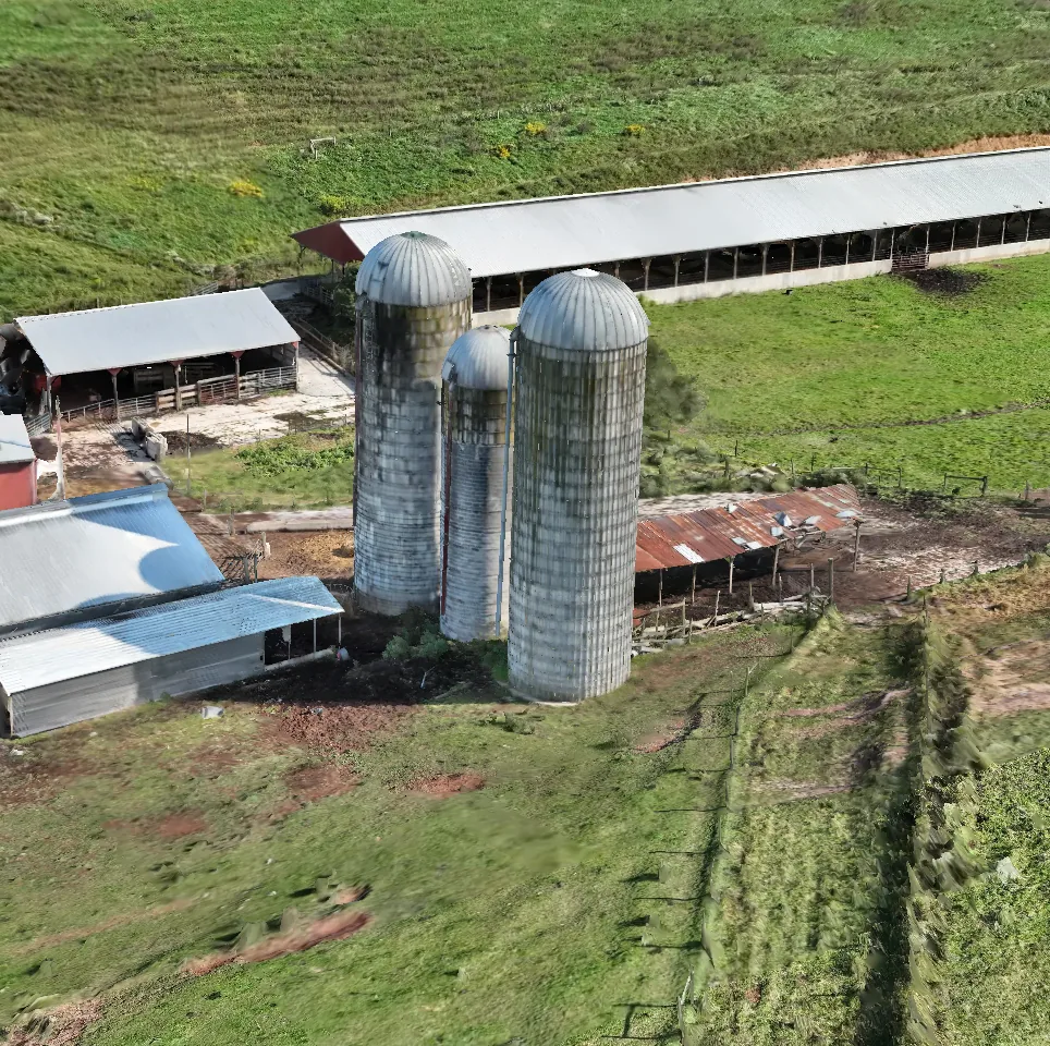
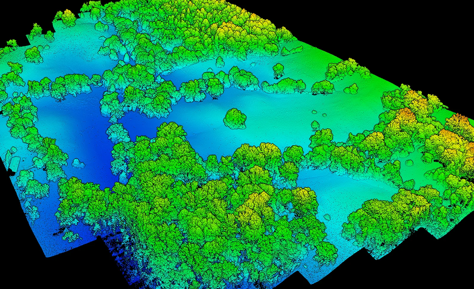
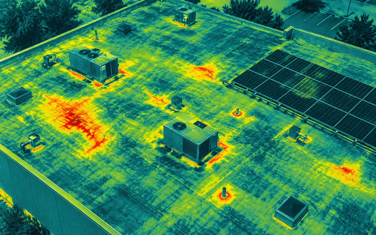
What we fly.
Choose a category to see the workflow, deliverables, examples, and technical details for that kind of work.
Construction documentation
Monthly drone progress flights, earthwork volumes, as-builts, and lender draw verification.
Mapping & modeling
Drone LiDAR and photogrammetry topography, 3D models, and land and conservation monitoring.
Thermal inspection: roofs & solar
Radiometric drone thermography for commercial roof moisture surveys and module-level solar inspections.
Quarries & volumetrics
Stockpile inventory and landfill airspace from repeatable drone surveys.
Property & storm records
Pre-loss documentation, post-storm comparison, and annual condition records for commercial properties.
Drone videography
FPV fly-through tours, estate and land imagery, and cinematic aerial film.
Before you call.
What do you need from us to get started?
A site address or boundary, rough acreage, what phase or condition the site is in, and what the data needs to answer. That's enough for a quote and a flight plan.
Are you licensed and insured?
Our pilots hold FAA Part 107 remote pilot certificates, and S&T AIR carries aviation liability and hull insurance. Certificates of insurance are available on request.
Can you fly near Dulles or inside the D.C. restricted airspace?
Much of Northern Virginia sits in controlled airspace or inside the Washington, D.C. Special Flight Rules Area. We check every site's airspace during scoping and secure FAA authorization before flight day. Sites inside the Flight Restricted Zone around the city generally can't be flown.
Where do you fly?
We're based in Broad Run, in Fauquier County, and fly day projects across Fauquier, Prince William, Loudoun, Fairfax, Stafford, Culpeper, Spotsylvania, and Rappahannock counties. We travel anywhere in Virginia for multi-day work.
How is drone work priced?
By the deliverable, not the flight hour. Price depends on acreage, the deliverables you need, and how often we fly, with lower rates for recurring programs. Each service page lists typical ranges.
Built around the site.
S&T AIR is based in Broad Run, Virginia and serves projects across Fauquier, Prince William, Loudoun, Fairfax, Stafford, Culpeper, Spotsylvania, and Rappahannock counties. We also travel throughout Virginia for larger and multi-day projects.
Tell us the location, acreage, site conditions, and what decision the data needs to support. We will recommend the collection method and deliverables that fit the job.
Tell us about the site.
Send an address or boundary and what you need to measure, document, or inspect.
Email S&T AIR spencer@sandtair.com (805) 814-5803